
Description
Hacienda is a place that can be described in many ways. Current information and data on a number of key site characteristics will provide you with a good way of looking at the development using a variety of metrics and analytical parameters.
The pages in this section are regularly updated with current information. Be sure to check back periodically for updates. Descriptive elements shown in this section include:
- Hacienda's location within the greater Bay Area
- Land distribution by uses and zoning
- Development activity
- Occupancy information
- Sales of property
- Property valuation and community returns
- Historic information relating key milestones
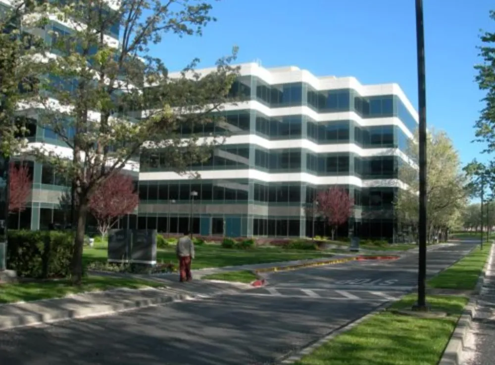
Land
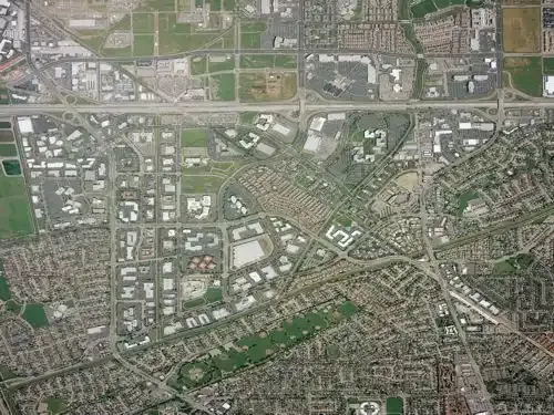
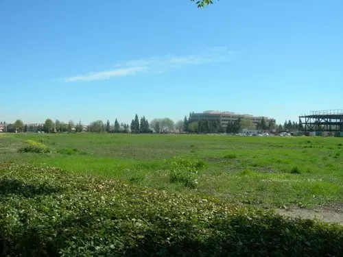
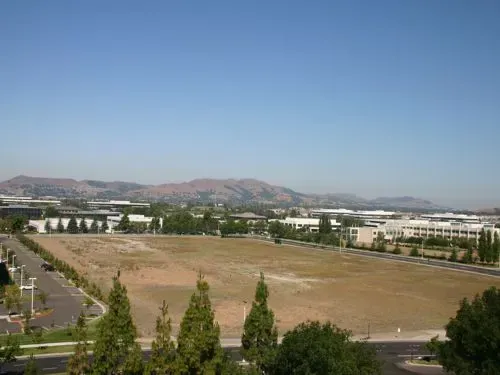
Hacienda is bounded by Interstate 580 to the north, Hopyard Road to the west, Santa Rita Road to the east, and the Arroyo de la Laguna to the south. At more than 875 acres, Hacienda is the largest development of its kind in Northern California and one of the largest in the nation.
Hacienda is located at the northern edge of the City of Pleasanton. The project is a Planned Unit Development with a number of separate land use designations. In the course of its development, Hacienda's owners donated nearly 150 acres of the property to the public, including land set aside for streets and roads, flood control improvements, and other appurtenances.
Additional public set-asides have been made over the years for parks, trails, and additional public amenities. The remaining 730 acres is home to a diverse array of corporate office buildings to research and development facilities to retail stores to single family homes.
| Area Summary — Acreage | |
|---|---|
| Acres | |
| Gross Area | 875.756 |
| Less: State Highway and Street Area Dedication | 126.979 |
| Less: Channel Dedication | 14.252 |
| Less: Parcels H, I, K removed from boundary | 3.868 |
| Total Net Acreage | 730.657 |
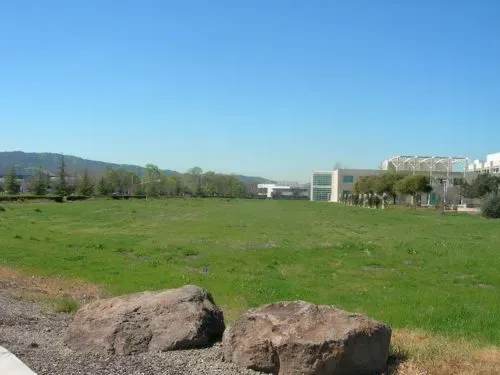
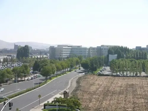
Hacienda is a Planned Unit Development with a number of separate land use designations. The following table provides information on the separate types of land use designations, the amount of land devoted to each and the status of the development of that land. Undeveloped sites are lots with no existing development. Partially Developed sites include lots with approved but as yet unbuilt projects.
| Net Usable Land by Use | ||||
|---|---|---|---|---|
| Developed | Undeveloped | Partially Developed | Total | |
| CPD | 60.39 | 0 | 0 | 60.39 |
| OGPD | 23.397 | 0 | 0 | 23.397 |
| OMPD | 68.822 | 0 | 0 | 68.822 |
| OPD | 20.16 | 0 | 0 | 20.16 |
| IPD | 141.735 | 0 | 0 | 141.735 |
| HDR | 112.47 | 0 | 8.128 | 120.598 |
| MOIPD | 112.47 | 0 | 12.143 | 124.613 |
| MCOIPD | 61.093 | 0 | 53.458 | 114.551 |
| MCOIRPD | 56.392 | 0 | 0 | 56.392 |
| PI | 0 | 0 | 0 | 0 |
| TOTAL | 656.615 | 0 | 65.601 | 730.658 |
| Ownership Split (net acres) | |
|---|---|
| Acres | |
| Investor Owned | 343.96 |
| Owner Occupied | 386.698 |
Land use designation key:
- CPD — Commercial/Retail
- OGPD — Garden/Office
- OMPD — Mid-Rise Office
- OPD — General Office
- IPD — R&D/Office Flex
- PI — Public and Institutional
- HDR — High Density Residential
- MOIPD — Mixed Office/Industrial
- MCOIPD — Mixed Commercial/Office/Industrial
- MCOIRPD — Mixed Commercial/Office/Industrial/Residential
Hacienda News and Information
Hacienda Online provides a great way to stay informed of all the latest at Hacienda


