


R.E.Y. Engineers Is Industry Leader in LiDAR Technology
R.E.Y. Engineers Is Industry Leader in LiDAR Technology
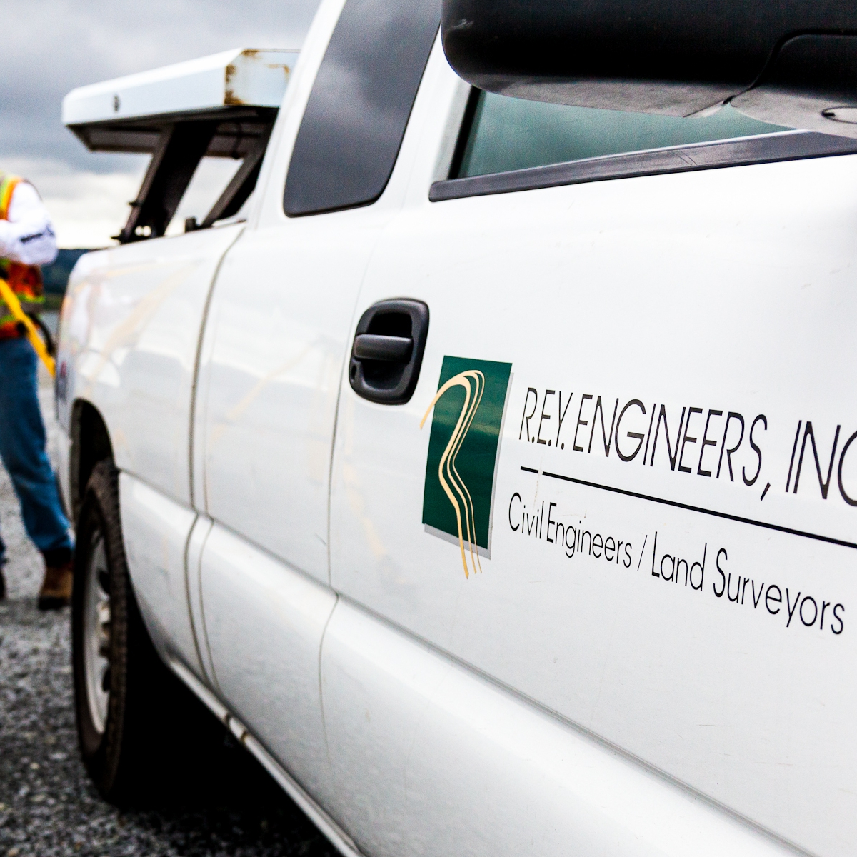
R.E.Y. Engineers, Inc. delivers intelligent civil engineering and land surveying solutions that advance its clients, communities, and professions. R.E.Y. has provided civil design and land surveying on some of the most complex and high-profile projects in California, including the Bay Bridge replacement, repairs to Oroville Dam, and the new Folsom Dam Auxiliary Spillway. The firm’s services include mobile, terrestrial, and drone LiDAR. LiDAR (Light Detection and Ranging) is a sensing method that uses a pulsed laser to measure variable distances remotely.
“R.E.Y. has been unwavering in our commitment to offer the latest and most advanced technologies in the industry,” says Tina Mallo, Marketing and Business Development Manager.
R.E.Y. engineers and surveyors have been instrumental in the development and application of LiDAR technology, and today are recognized experts and leaders in its use. R.E.Y was the first firm in North America to own the Riegl-VMX 250/CS6 Mobile LiDAR and Camera System, which collects 600,000 engineering-design-grade measurements per second at traffic speeds. As a national leader in both mobile and terrestrial LiDAR acquisition and mapping, R.E.Y. utilizes its in-house technology to acquire an accurate and extremely dense “point cloud.” No level of visible detail goes undetected. This approach results in a design-grade, as-built data set that can be used over and over, without the need to go back to the site for additional measurements, according to Mallo. From this feature-rich and highly accurate data, traditional design products are prepared, including digital terrain models and CAD files.
Among other uses, LiDAR technology has proven to be an ideal data collection method for analyzing sidewalks and streets for ADA compliance as well as drainage improvements. R.E.Y. has completed several exterior ADA rehabilitation projects using LiDAR systems. Through the firm’s expertise in the use of this technology, it is able to quickly and efficiently evaluate existing ramps, parking stalls, and accessible paths of travel for compliance with ADA guidelines. The resulting dense point cloud data is used to find the perfect sawcut/conform line for accessibility improvements.
For drainage design, data collected using R.E.Y.’s mobile and terrestrial LiDAR systems can be displayed using color contours to quickly evaluate any localized low points that lack a drain inlet and need attention. Locations are easily identified through the LiDAR data even when standing water is not visible during site investigations. Each drainage deficiency is then carefully evaluated by the engineering staff, and the appropriate solutions selected factoring in its cost-effectiveness and longevity.
“Having access to accurate and dense existing conditions data allows R.E.Y.’s design staff to cost-effectively and efficiently design projects,” says Mallo.
R.E.Y.’s most recent technology offering is a small Unmanned Aerial Vehicle (UAV), or drone, a multi-rotor aerial data collection vehicle that provides photogrammetric mapping and LiDAR surveying at altitudes of less than 400 feet. The UAV provides a much higher level of detail than manned aircraft. R.E.Y.’s technology is approved through the Federal Aviation Administration for commercial drone work and employs certified pilots. This offering is an ideal tool for environmentally sensitive habitats, crash sites, crime scenes, contamination areas, areas of earth movement, flooding, high traffic, rough terrain, industrial sites, and areas where safety of survey staff is an issue, according to Mallo.
R.E.Y. Engineers was founded in 1985. In December 2020, the firm opened an office in Hacienda “to provide a more central location to reach our clients, expand our Bay Area market, and alleviate commute times for our Bay Area employees,” she notes. R.E.Y. is headquartered in Folsom and has additional offices in Oakland and Palo Alto.
For more information about R.E.Y. Engineers, Inc., please visit www.reyengineers.com.