


Iron Horse Trail, Trail Networks Offers Many Benefits
Iron Horse Trail, Trail Networks Offers Many Benefits
The Iron Horse Regional Trail, which runs through Hacienda, is a living link to the region’s past, present, and future. The Iron Horse Trail is built on a former railroad right-of-way. As part of the East Bay Regional Park District’s 73 parks and nearly 1,300 miles of trails, the Iron Horse Trail illustrates the region’s commitment to preserving and creating opportunities for hiking, biking, horseback riding, and nature learning. The trail is also part of the larger Bay Area Regional Trail Network, which runs throughout the Bay Area’s nine counties. Currently 60% completed, once finished the network’s 2,604 miles of trails will connect San Francisco Bay Area residents and visitors in important new ways, according to the Bay Area Trails Collaborative.
Trails Mean Business
The Bay Area Trails Collaborative, which is made up of more than 50 regional organizations, agencies, and businesses, is chaired by the national Rails-to-Trails Conservancy (RTC). Together, the nonprofits are working to realize a long-held vision for the Bay Area Regional Trail Network as not only a hub for recreation but also an “active transportation” network, one based on human-powered movement such as walking and bicycling, that will benefit the region’s economy as well as the environment.
“Once complete, this regional trail network will serve as an active transportation and recreation corridor for the eight million people living and working in the Bay Area—and will address serious challenges the area is facing: alleviating traffic congestion; increasing economic opportunity; improving public health and safety, particularly in disadvantaged communities; and reducing greenhouse gases and air pollution from vehicle traffic,” according to officials of the Collaborative.
In 2019, RTC published a study that estimated active transportation generated $34.1 billion annually in economic activity across the nation, with the potential to grow to $138.5 billion annually “as the connectivity of trail and active transportation networks improves.” Based on that study, according to the Collaborative, “the state’s walking and bicycling facilities and trail networks—including the Bay Area Regional Trail Network—could collectively generate as much as $6.62 billion each year for California’s economy.” Moreover, “completing the remaining gaps in the Bay Area Regional Trail Network could spark new waves of outdoor tourism, small business investment, and job creation.”
A Local Treasure
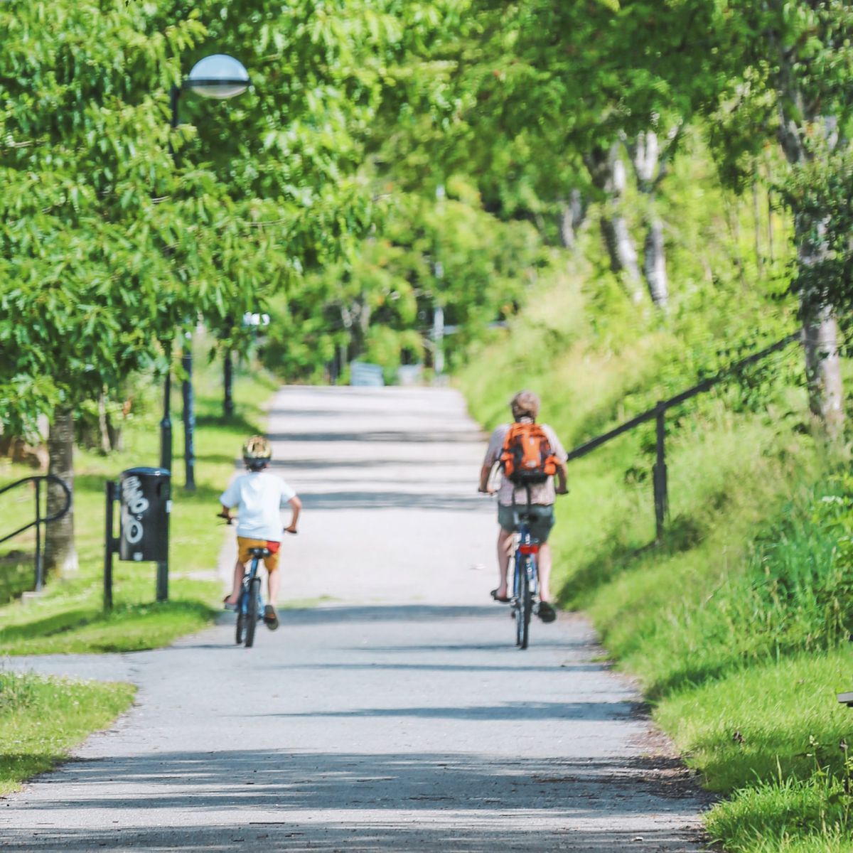
A variety of trails can be accessed from Hacienda or from other parts of the City of Pleasanton. The best known is the Iron Horse Regional Trail, a local treasure for walkers, hikers, pedestrians, cyclists, skaters, those who use mobility aids such as wheelchairs, and equestrians. The existing 32-mile, multiuse, whole-access trail links a variety of areas, including the BART station in Hacienda, residential and commercial areas, open space and parks, regional trails, and community facilities. In short, the Iron Horse Trail is a vital example of an active transportation and recreation corridor.
The trail also provides direct links to three other regional trails: the Contra Costa Canal Trail, the Briones to Mt. Diablo Trail, and the Las Trampas to Mt. Diablo Trail. Regional planners intend to eventually extend the Iron Horse Regional Trail and connect 12 cities, from Livermore in Alameda County to Suisun Bay in Contra Costa County, making the trail a total of 55 miles long.
The Iron Horse name is a recognition of its placement on what was formerly the right-of-way used by the San Ramon Branch Line of the Southern Pacific Railroad between 1891 and 1978, according to the East Bay Regional Park District. Southern Pacific abandoned the line in 1978 and quickly removed the tracks. Development of the trail began in 1986. Those who pushed for its creation had no idea how long development would take.
“It was a learning experience for people, because putting a new trail in an abandoned right-of-way wasn't something that people knew about in general,” says Beverly Lane, a nature enthusiast and early advocate for the trail. Some agencies and businesses believed a light rail system might be a better use of the land, while others wanted an area that would be free from traffic for cyclists and pedestrians in the San Ramon Valley.
Developments in the 1980s made progress on the trail possible. In 1982, voters in Danville approved its incorporation as an independent city. San Ramon followed suit in 1983. After a stint on the Danville City Council, Lane became mayor in 1984. One day a friend who loved bike riding dropped by the Lane’s office during Saturday Open Hours to discuss the right-of-way and how to begin a trail nearby. The result was a group called the Right of Way Trail Advocates, which included Lane, her friend, and other trail promoters from Alamo, Danville, and San Ramon. The group “included people who rode horseback and people who were bikers and Boy Scouts and park people.”
Eventually the group contacted Robert Doyle at the East Bay Regional Park District. Now retired, Doyle supported the group’s goal to establish a trail. Lane says she will never forget a comment Doyle made early in the process. “He said, ‘This is a right-of-way that goes from Martinez down to Pleasanton. Are you in it for the long haul?’ And the committee said, ‘Well, how long could it take?’ ”
As it turned out, completing each segment of the trail was a time-consuming effort because building the trail required quality construction. The East Bay Regional Park District agreed to build and manage the trail under a license agreement with the county, according to Lane. The park district controlled the pavement area, which was between eight and 10 feet wide, and included a couple of feet of land on either side. The landscape varied along the right-of-way. In order to build each segment, the park district needed to develop an appropriate standard. The standard included how much rock was needed as a foundation, how thick the pavement would be, and what type of rock should be used on the sides of the pavement.
“Each segment had to be designed, and then there had to be specifics associated with the design, and then you had to raise the money, and then you had to build it,” notes Lane. “So it wasn't like just tossing a little asphalt out there.”
The East Bay’s Iron Horse Regional Trail has been judged “one of the premier cycling routes in the state,” according to one local publication, and the trail is considered one of the top 10 trails in the Tri-Valley. From imagining the trail to being able to ride on it might have been a discouraging process for some. But that type of advocacy became a focus for Lane, who was elected to the East Bay Regional Park District Board of Directors in 1994. Lane, who is retiring as a Director at the end of this month, knows as well as anyone that building important public facilities requires planning, money, and often a great deal of time.
“What happens with the East Bay Regional Park District is that we have visionary plans and then we have the actual projects, and some of them are very large and they take a long time,” she notes.
Some projects, such as the Iron Horse Trail, have been decades in the making. The rewards of such patience can be seen in the number of local residents and visitors making use of this and other trails. Before the Covid pandemic hit, an estimated 25 million visitors per year enjoyed the district’s parks and trails. Trail use increased dramatically during the pandemic. While the number of visitors has dropped somewhat since the pandemic’s peak, it is still higher than pre-pandemic levels, according to Lane, who has worked to create many other Tri-Valley trails, in addition to Iron Horse.
“There are people who love to bike and hike and ride horses over long distances,” notes Lane. “Many areas with open space are private. A fabulous element of people's life here is to be able to go to these parks and use these trails.”
For more information about the Bay Area Trails Collaborative, please visit www.railstotrails.org/our-work/trailnation/bay-area-trails-collaborative.
For more information about the Iron Horse Regional Trail, please visit www.ebparks.org/trails/interpark/iron-horse.
For more information about the East Bay Regional Park District, please visit www.ebparks.org.