


East Bay Regional Park District Opens New Trails
East Bay Regional Park District Opens New Trails
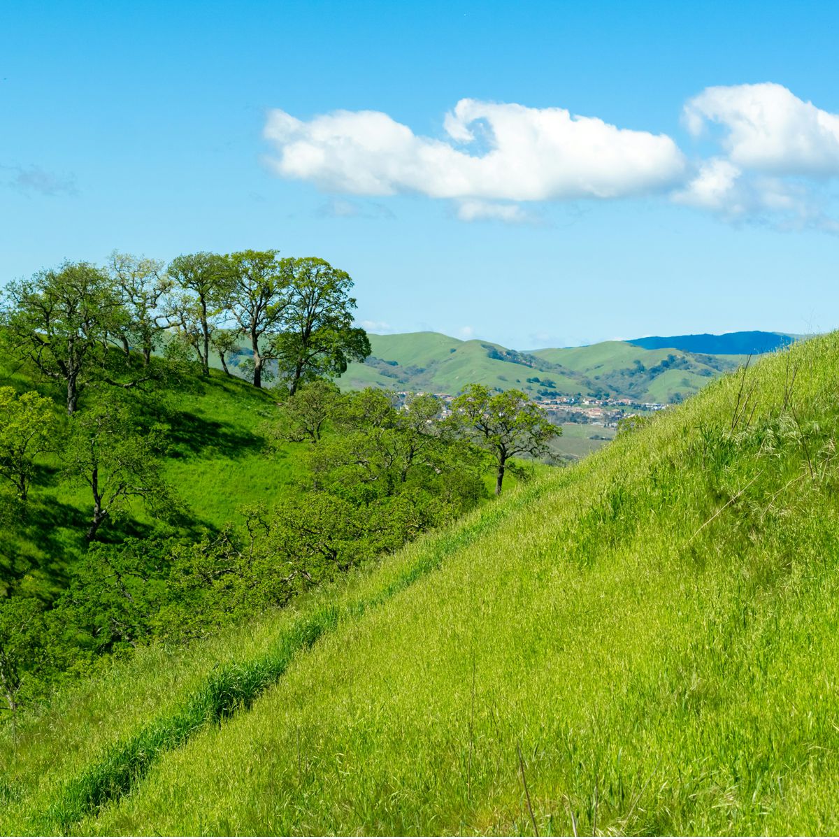
The East Bay Regional Park District (EBRPD) is the largest park district in the country, with 73 regional parks that spread across 126,809 acres of open space. Recently, open space became more accessible to the public partly due to the agency. On June 24, EBRPD held a ribbon-cutting ceremony to celebrate new trails and public access at Sycamore Valley Open Space Regional Preserve in Danville.
The trails are part of the 381-acre Magee Preserve property, which was permanently protected by Danville voters in March 2020 through the passage of Measure Y. The measure preserved 381 acres as open space while allowing development on 29 acres—at no cost to taxpayers. Expansion of the trail network at Sycamore Valley Open Space Regional Preserve was the result of successful collaboration between EBRPD, the Town of Danville, and Save Mount Diablo, which was a major proponent of the Measure Y ballot measure.
"The measure was a win-win for the community," according to Park District Board President John Mercurio. "We are grateful for the vision and support of all of the people and organizations that made these new trails possible."
The ribbon-cutting event marked the formalization of agreements for public access to more than 3.5 miles of trails within the 381-acre Magee Preserve property that connects to Sycamore Valley Regional Open Space Preserve. The Park District holds a recreational trail and emergency vehicle and maintenance access easement over the new trails on the Magee Preserve property. The 381-acre open space will be owned and maintained by the Wiedemann Ranch Geologic Hazard Abatement District. There will be a larger community celebration and hike on the property in fall of 2025. The new trails connect to the northern ridge area of Sycamore Valley Open Space Regional Preserve. The preserve opened in 2005 and totals 695 acres today.
Naturally, there are many other open spaces to explore as well. For the past 32 years, EBRPD has promoted healthy recreation and time in nature through its annual Trails Challenge program. The free program connects people to nature by providing 20 designated trails ranging from easy to moderate to challenging, including a number of fully accessible trails that have been evaluated and identified as usable by persons with mobility limitations. To finish the challenge, participants need to walk, ride, or roll five trails or 26.2 miles. Walking, biking, and horseback are all ways visitors can participate.
"The East Bay Regional Park District's Trails Challenge program offers one-of-a-kind views of the East Bay," EBRPD officials say. "This year's highlights include 360-degree views from Tilden's Vollmer Peak, peaceful valleys on Sunol's Canyon View Trail, sweeping vistas from Carquinez's Overlook Loop, rolling hills at Garin's Vista Peak Loop, tranquil waters along Contra Loma's Lake View Trail, and hillside panoramas from Morgan Territory's Lost Lens Cap Overlook."
The free Trails Challenge guidebook is available in English and Spanish. It features 20 trails for all abilities. Participants must complete any five trails or 26.2 total miles to earn a commemorative pin (while supplies last). Monthly prize drawings, age-group finisher patches, and an exclusive All-20 Club patch for completing all 20 trails have been added for this year's Trail Challenge.
Those participating in the 2025 Trail Challenge will probably experience the work done by the Creative Design Group. This EBRPD department moved into Hacienda in 2012. The Creative Design Group produces signage, publications, exhibits, and other objects used to educate visitors about local nature and other important aspects of the regional parks.
For more information about the East Bay Regional Park District, please visit www.ebparks.org.
For more information about the Trails Challenge 2025, please visit www.ebparks.org/trails-challenge.
Photo by Spencer DeMera on Unsplash